Darent Nature Partnership
Local Planning Authority: Sevenoaks District
National Character Areas: North Downs; Wealden Greensand
Darent Valley Landscape Recovery - An Introduction
Background
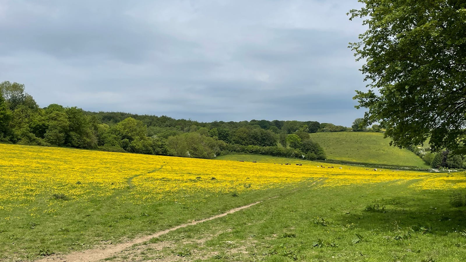
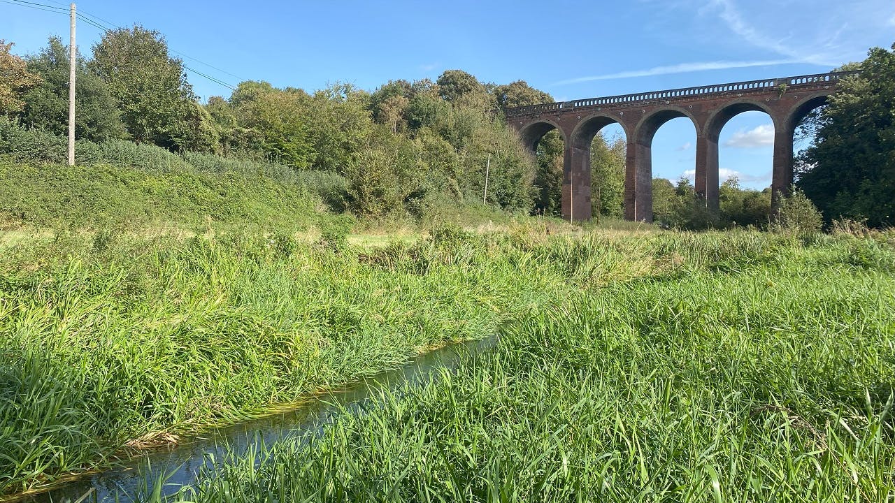
The Darent Valley falls within the Kent Downs National Landscape (formerly known as Area of Outstanding Natural Beauty), part of a chalk ridge that extends from Surrey to the white cliffs of Dover, characterised by its mosaic of mossy ancient woodlands, lowland meadows, and chalk downlands rich in wildflowers, butterflies, and bees. The valley's gently sloping hills are draped in an idyllic patchwork of cropland, vineyards, pasture, and woodlands, studded with the quaint villages of Shoreham, Eynesford, and Otford. Its warm, south-facing grassy slopes are one of the few places in the UK where you can find rare orchids such as the anthropomorphic man orchid, and butterflies such as our namesake, the adonis blue.
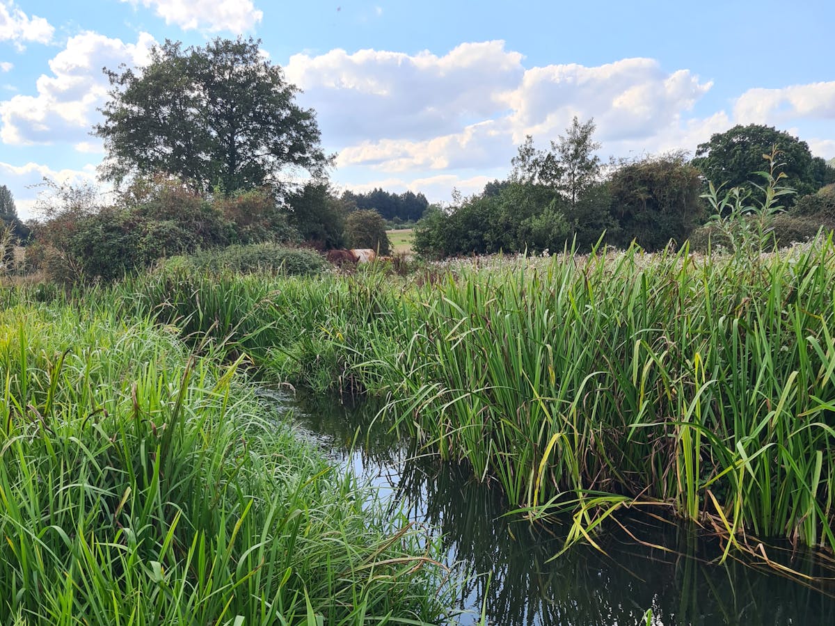
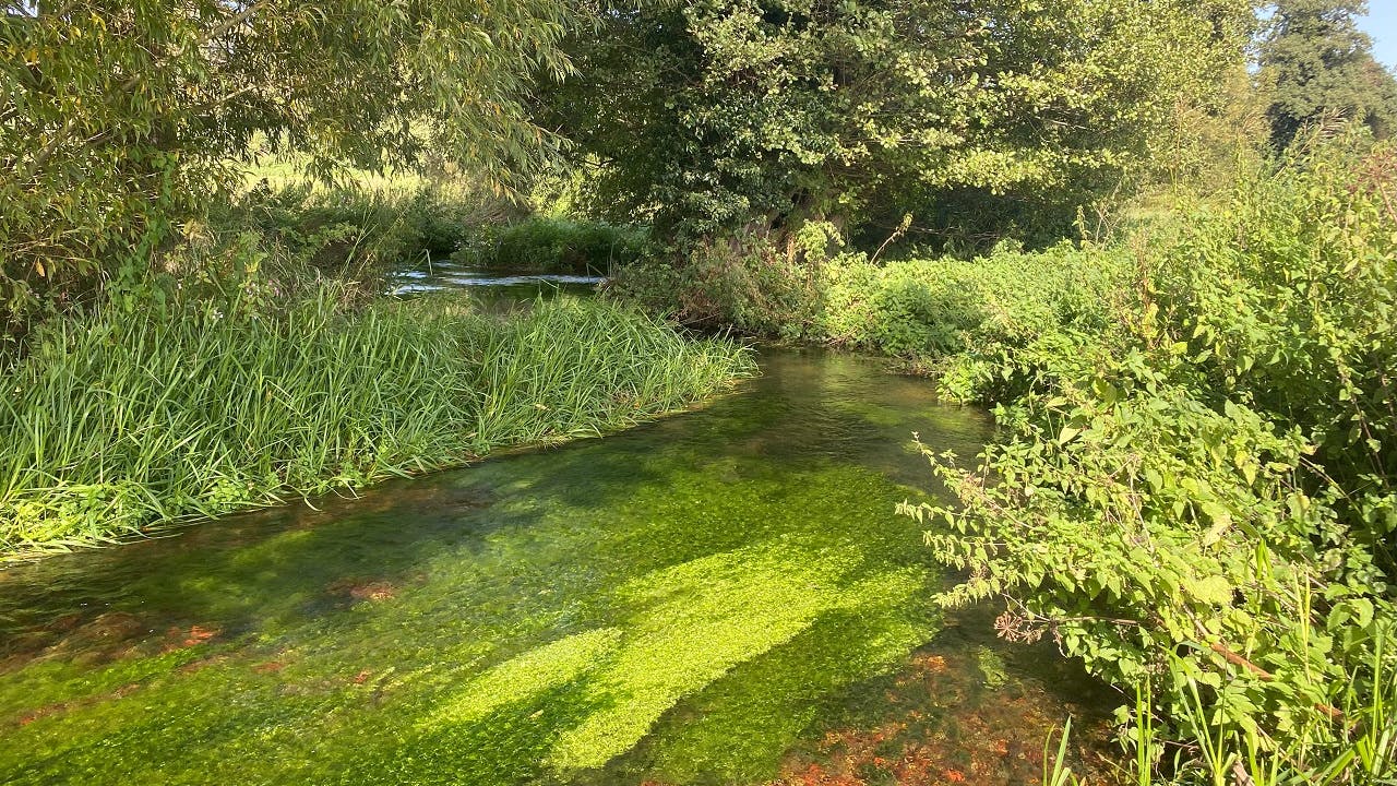
The river Darent which meanders through the valley, is one of only around 200 chalk streams in the world. When healthy, its clean clear waters and gravelly beds can support a rich ecosystem of dancing damselflies, wild trout, white-clawed crayfish, and mammals such as water voles and otters.

While a haven for nature, the valley is important for humans too. Once a hub of industry, the river's clean waters and proximity to London made it favoured for breweries and factories in the 17th Century, including one of England's first paper mills. In addition, its productive farmlands produce a wide range of food, beer, and wine, and the chalk aquifer which supplies the river provides drinking water to millions of homes across Kent, London, and Surrey. Furthermore, its scenic landscape has been enjoyed by walkers, anglers, artists, and poets for centuries. Renowned romantic poet and painter Samuel Palmer created some of his best works inspired by the countryside of Shoreham where he lived, and Virginia Woolf's novel Orlando was inspired by Sevenoaks' Knole Park. Even today, being only a 30 minute train journey from central London, it is one of the best opportunities for city-dwellers to escape the urban sprawl and experience the restorative and inspirational powers of the landscape.

However, over the centuries this precious river and its valley has been over-exploited and heavily modified. The river Darent contains dozens of now-defunct weirs that once powered water mills, and its course has been artificially straightened and widened to allow access for historic trading boats. These modifications increase flood risk to hundreds of local homes during heavy rain events (such as those seen in the winters of 2013/14 and 2002/3), block the passage of wildlife, and create areas of deep, murky, slow-flowing water that is of little aesthetic or ecological value. Furthermore, over-abstraction by water companies caused parts of the river to dry up completely in the 1980s, nearly doing so again in the hot dry summers of recent years. As a result, much of this globally rare river habitat is now in degraded ecological condition and many important species populations have declined or disappeared from the landscape.

The Darent Nature Partnership
The Darent Nature Partnership is a collaboration between twenty landowners across the Darent Valley who have come together with a shared ambition to protect and restore and enhance the river and its surrounding landscape. The landowners include local farmers, councils, and Kent Wildlife Trust, who between them have contributed more than 1,800 hectares of land to long-term nature restoration. The Partnership aims to maximise the potential of the landscape for wildlife while providing services such as reduced flood risk and sustainable water supply, and preserving and enhancing the area's rich heritage. By working together, Darent Nature Partnership will create a joined up network of habitats that achieve bigger and better outcomes for wildlife and local communities.


Outcomes for wildlife
The Partnership plans to create more, better habitats for a wide range of plants, insects, birds, and fish. It will:
- Restore meadows and downlands to support a diverse array of flowering plants and provide a haven for rare and declining butterflies and bees.
- Create woodlands that store carbon and provide habitat for breeding birds while joining up fragments of existing ancient woodlands to allow wildlife to move across the landscape.
- Re-meander the river through its natural flow path and reconnect it to its floodplains to slow the flow of water through the landscape, reducing flood risk, and providing more wetland habitats for wildlife.
- Remove barriers in the river that block the passage of fish, allowing source to sea connectivity for species such as brown trout.
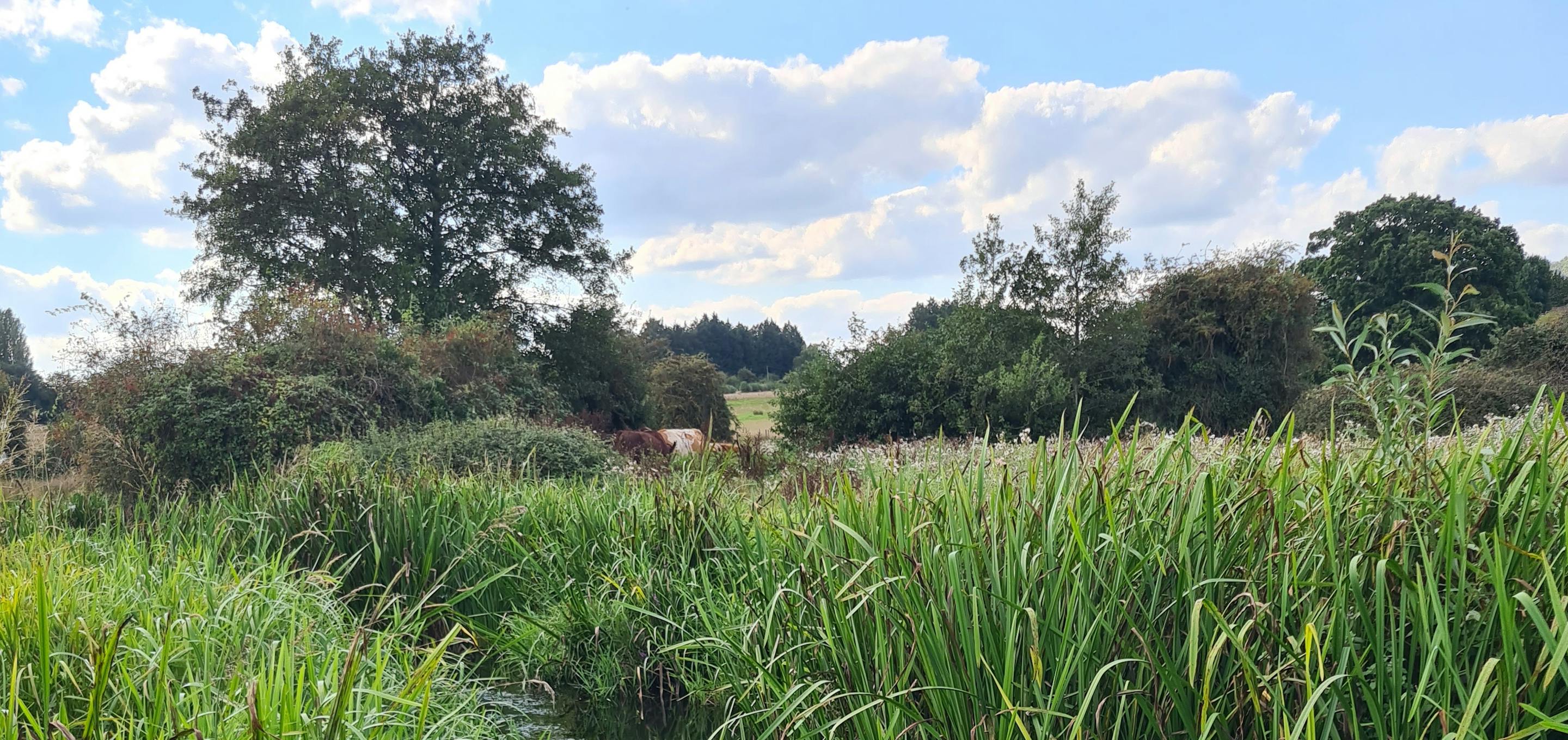
- Implement conservation grazing with large herbivores such as cattle, pigs, and ponies, to restore natural ecosystem processes. No Fence Collars will be used where possible to manage the movement of livestock while allowing other wildlife to move freely through the landscape.
- Removal of invasive non-native species that threaten native wildlife.
- Habitats designed to provide ideal conditions for the project's target species, include adonis blue butterflies, man orchids, carder bees, water voles, and yellowhammer.
Outcomes for people
- Local communities and tourists will benefit from more beautiful, wild green spaces and creation of new and improved walking trails in the valley. Extensions to the North Downs Way and the Darent Valley Path will help people to access and connect with nature.
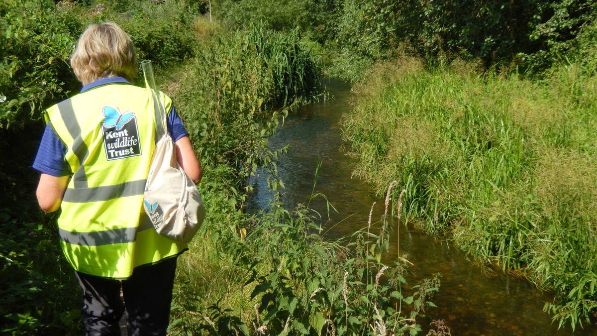
- Kent Wildlife Trust and North West Kent Countryside Partnership will work together to deliver a range of engagement activities with local communities and schools. Already, 5 schools in the local area have been enrolled in the Wilder Kent Awards scheme, and teams of volunteers help to survey wildlife across the project area, and that's just the start!
- By reducing flood risk and helping to recharge the aquifer that supplies drinking water, the project aims to improve the area's climate resilience as we move toward a warmer world with more droughts and floods.
BNG habitat units available
In excess of 4,000 area habitat units are available from the following habitat types.
Note that the number of units shown here are indicative only and may be subject to change as habitat plans are refined. Additional units are likely to be available for river enhancement and hedgerow creation and enhancement.
Grassland
Lowland calcareous grassland (High distinctiveness) - 459 units
Lowland meadow (Very high distinctiveness) - 531 units
Lowland dry acid grassland (Very high distinctiveness) - 6 units
Other neutral grassland (Medium distinctiveness) - 2598 units
Heathland and Shrub
Mixed scrub (Medium distinctiveness) - 39 units
Hawthorn scrub (Medium distinctiveness) - 8 units
Woodland
Wet woodland (High distinctiveness) - 5 units
Lowland beech and yew woodland (High distinctiveness) - 12 units
Lowland mixed deciduous woodland (High distinctiveness) - 348 units
Other woodland; broadleaved (Medium distinctiveness) - 106 units
Other woodland; mixed (Medium distinctiveness) - 13 units
Ponds and Lakes
Ponds - 114 units
Wetlands
Floodplain wetland mosaic (High distinctiveness) - 29 units
Site Photos


