
Green Finance Potential in Clun Catchment - FINCH
The client
The FINCH Project (Facilitating Investment in Natural Clun Habitats), a partnership between Natural England and Shropshire Wildlife Trust.
The challenge
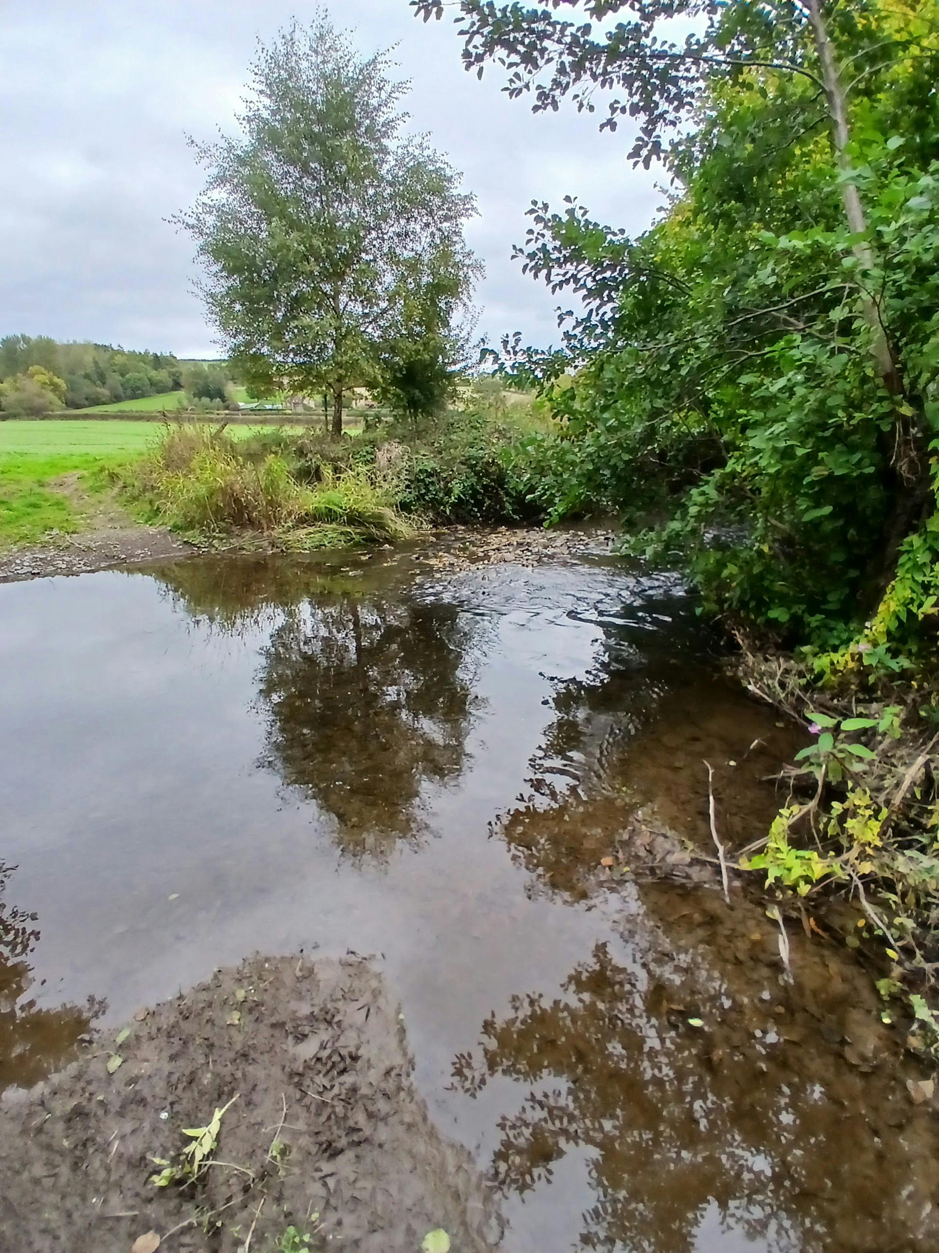
The River Clun, a tributary of the River Teme in Shropshire, is designated as both a Special Area of Conservation and a Site of Special Scientific Interest, thanks to its population of Freshwater Pearl Mussel — a species highly sensitive to sediment and nutrient pollution such as nitrogen and phosphorus. Agricultural runoff and land use pressures have contributed to this species' decline across the UK, and the Clun Catchment is one of five pilot areas where Natural England is testing how future Protected Sites Strategies can balance environmental protection with sustainable land management and rural enterprise. To make progress, farmers and landowners across the catchment needed support to identify green finance opportunities that reward nature-positive land management, alongside a clear evidence base of current habitat condition.
What we did
Throughout the 2025 survey season, our ecologists carried out UKHab surveys across 14 landholdings covering more than 1,800 hectares of the Clun Catchment, assessing the diversity, condition, and extent of habitats including hedgerows, grasslands, woodlands, ditches, streams, and ponds. Alongside this, we met with landowners to understand their awareness of existing green finance income streams, their current land management practices, and their openness to habitat enhancement on their sites.
The outcome achieved
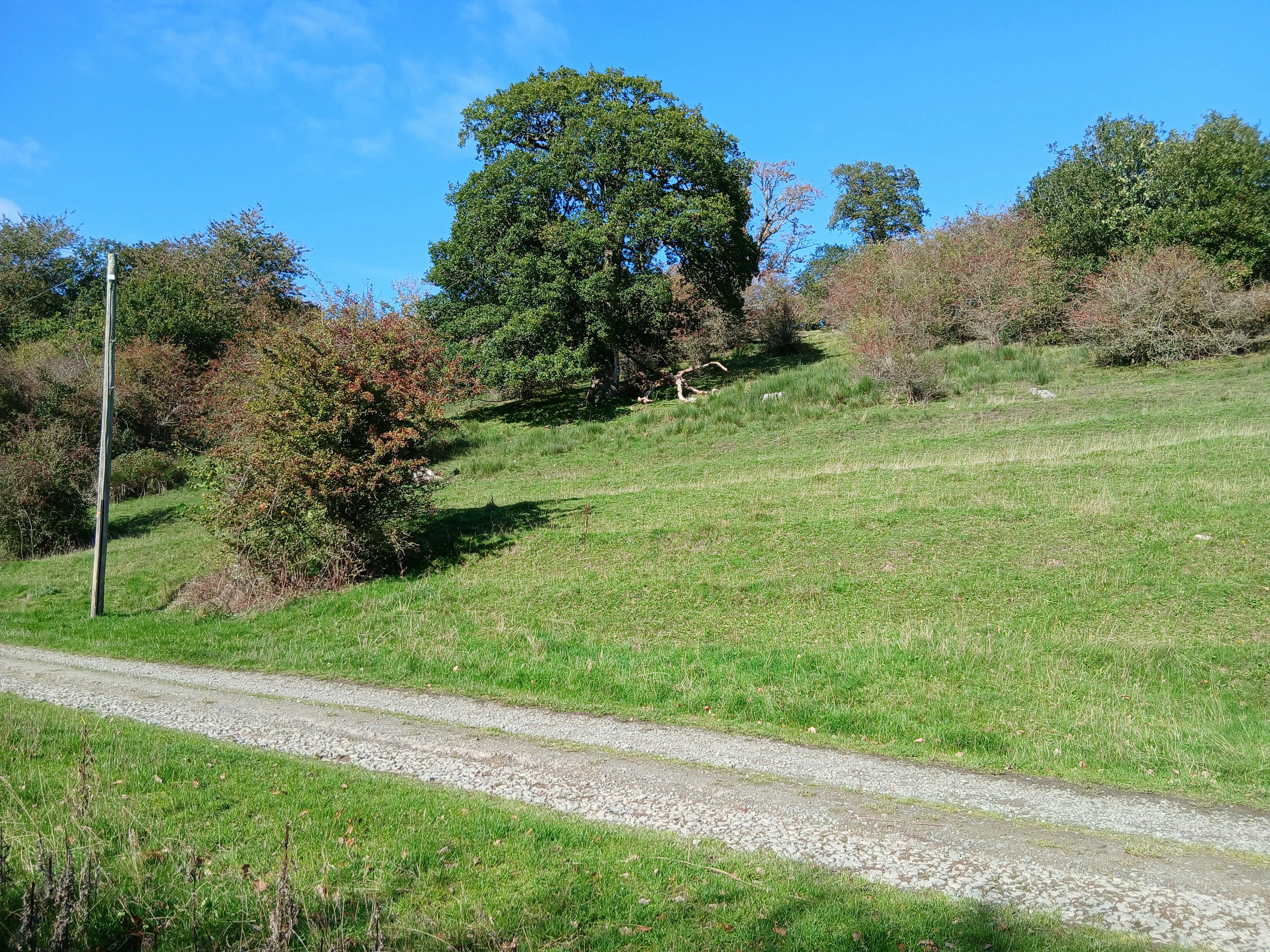
Our surveys revealed a rich and varied landscape, including veteran trees, ancient woodland, and other valuable habitats providing critical refuges for wildlife, giving the FINCH Project a strong foundation for developing green finance mechanisms that support both nature and the farming community. As the 2025 season draws to a close, we're analysing and mapping the data using QGIS and preparing tailored reports for participating farmers, identifying where habitat improvements could deliver both biodiversity gains and financial benefits, and how these align with the wider Protected Sites Strategy.
![]()
Crawley Green Infrastructure & Biodiversity Net Gain Sites
The Client Crawley Borough Council (CBC) commissioned a strategic study to identify and prioritise opportunities for Green Infrastructure (GI), Biodiversity Net Gain (BNG) and nature recovery across the borough. The…Green Infrastructure AssessmentsGreen FinanceLPABNGCrawley


