
How Adonis Blue Mapped High Weald grasslands with Coreo
At a Glance
Organisation: Adonis Blue Environmental Consultants on behalf of the High Weald Landscape Team
Scope: 88.85 hectares across 7 farms
Software: Coreo UKHab survey
Key Impact: Saved multiple office days, reduced desk time, eliminated site re-visits
Context
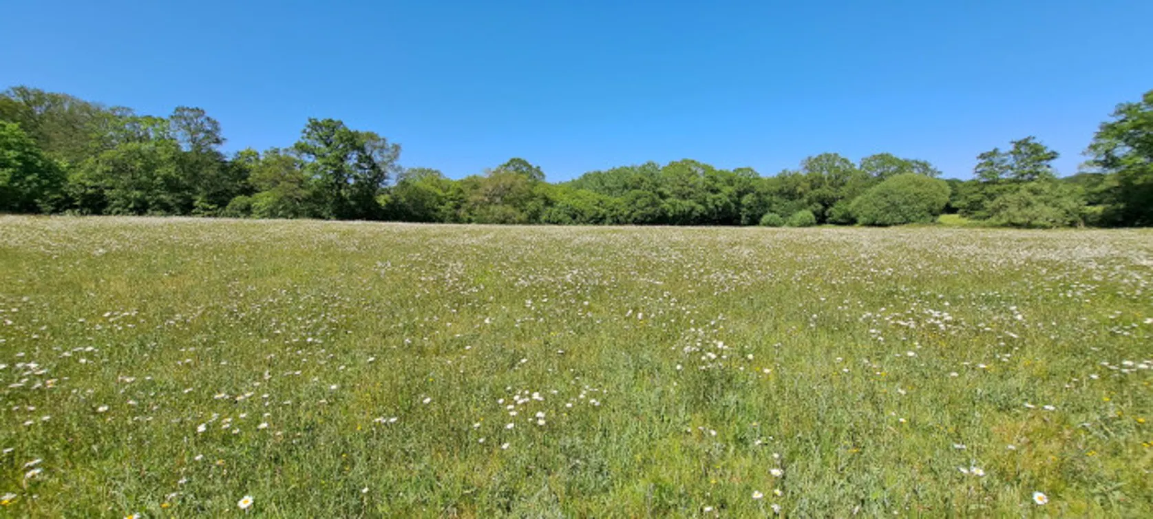
The High Weald National Landscape –is a medieval landscape of ancient woodland, rolling hills, small fields and scattered farms covering parts of East and West Sussex, Kent and Surrey. Contracted by the High Weald National Landscape team on behalf of farmers, Jess Martin-Joiner, Ecologist at Adonis Blue Environmental Consultants, conducted a UKHab baseline survey across seven farms covering 88.85 hectares. The project aimed to identify previously unrecorded fields to determine whether they would be classed as priority lowland meadow habitat, enabling farmers to secure vital higher-tier stewardship funding to manage these special habitats.
The Challenge
Qualifying for higher-tier stewardship schemes demands detailed, audit-ready baseline evidence. Previous survey tools used by Adonis Blue lacked critical data fields, resulting in inefficient work practices:
- Surveyors were forced to write out condition assessments manually back in the office.
- Incomplete field forms resulted in missing data, requiring costly return visits to remote sites.
- Recording off-quadrat indicator species and invasive species was difficult or impossible.
The Solution: Built-in UKHab Workflows
The Adonis Blue team transitioned to Coreo’s dedicated UKHab survey, enabling them to capture all the data they needed simply and easily:
To meet High Weald team’s specific mapping goals, the Adonis Blue team used Coreo's species identifier forms, enabling them to easily record rare and invasive species found outside standard survey quadrats, something they were unable to do before.
Key benefits of using Coreo:
- No costly return site visits: Pre-configured data fields eliminate missed data entry.
- Streamlined reporting: Field data inputs automatically generate downloadable condition assessments, saving significant manual work back in the office.
- Centralised data management: All the mapping data, species lists, notes, photos and condition assessments required to qualify for Higher Tier stewardship are consolidated in one secure platform, making it easier to produce a report or share data
- High-Precision Mapping: Surveyors can pinpoint quadrat locations with precise spatial accuracy.
- Flexibility: When a field surveyor captured data using points instead of polygons, Jess was able to update the geometry instantly with Coreo in the office without re-surveying.
- Farmer Engagement: Visual, accessible habitat maps allow farmers to instantly see the results of the fields surveyed, and surveyors were able to capture additional information on management whilst talking with the farmer. It also allowed farmers to identify rare plant locations on their land.
Beyond Grassland Surveys
The Adonis Blue Team provides a wide range of ecological services, including Biodiversity Net Gain (BNG), Preliminary Ecological Appraisals (PEAs), protected species surveys, specialist mitigation and wildlife monitoring. Coreo is used across these services, helping the team to collect and manage ecological data efficiently in the field. The team has also developed bespoke Coreo templates to support specific requirements, including river mitigation and ongoing wildlife monitoring.
Coreo has helped them streamline the way they deliver ecological services, enabling the team to complete surveys and projects more efficiently and within shorter timeframes for our clients. By making data collection, management and processing more straightforward, Coreo reduces the time spent on data handling and allows them to focus on delivering high-quality ecological assessments, mitigation and advice.
The flexibility of Coreo has also allowed them to develop bespoke templates tailored to our specific survey requirements, from BNG and PEA work through to protected species surveys, mitigation and wildlife monitoring. This has helped the Adonis Blue Team develop a more consistent and efficient approach to ecological data collection, while maintaining the high-quality, reliable data clients need.
![]()
Crawley Green Infrastructure & Biodiversity Net Gain Sites
The Client Crawley Borough Council (CBC) commissioned a strategic study to identify and prioritise opportunities for Green Infrastructure (GI), Biodiversity Net Gain (BNG) and nature recovery across the borough. The…Green Infrastructure AssessmentsGreen FinanceLPABNGCrawley


